Archived DIA Maps
 LCB has updated drafts of the Disproportionately Impacted Area (DIA) maps to reflect the updated definitions outlined in E2SSB 5080 and are currently seeking feedback on these new map drafts. The following DIA maps are outdated, and were used during the 2023 Social Equity Program application process in accordance with the requirements defined in E2SHB 2870. If you are looking for the new draft DIA maps, find them here.
Disproportionately Impacted Area (DIA) means a census tract within Washington State where community members are more likely to be impacted by the War On Drugs. Using the census data from 1980, 1990, 2000, and 2010, these areas were determined using a standardized statistical equation to identify areas of high unemployment, low income, higher rates of conviction for drug charges. The maps account for different time periods to account for gentrification. (Versión en Español)
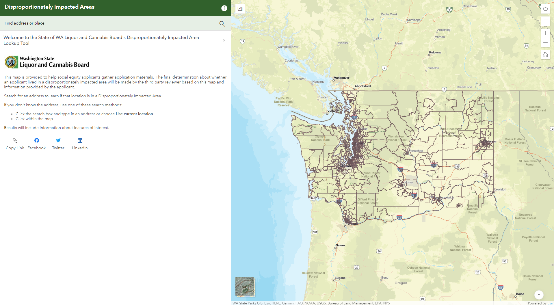
Access the Disproportionately Impacted Areas Map here.
Please enter a specific address, not an area. Be patient with the program, and allow it time to load before entering or re-entering an address.
Use the Interactive DIA Map above to search for a specific address to determine whether it was in a disproportionately impacted area. If you would like to see a visual of the DIA census tracts across the state, click on one of these four maps: 1980, 1990, 2000, and 2010. They show the census tracts in Washington for each decade from 1980-2010. The census tracts that qualify as a DIA are highlighted in orange.
To use the Disproportionately Impacted Areas (DIA) Map:
- Click on the link.
- On the first page, click on “Explore.”
- Type the address you want to check on “Find an address or place” on the left hand side, suggested addresses will appear once you begin typing, click on the address you would like to search.
- On the right hand side, the map will show you the location within the census tract. The blue highlight represents the census tract boundaries.
- On the left hand side of your screen, there will be 4 messages indicating whether or not the census tract where the address is located was a disproportionately impacted area in 1980, 1990, 2000, or 2010.
- To meet this qualification, you must have resided in the area at the time it was considered a disproportionately impacted area for a minimum of five years.
You can enter as many addresses as you like to check their status. The third party contractor will use this map and the information provided by applicants to determine if you lived in a disproportionately impacted area and for how long.
The DIAs were defined by the legislature. They include census tracts that were in the top 30% on all of the following indicators:
- High poverty rate;
- High rate of participation in income-based federal programs;
- High rate of unemployment; and
- High rate of convictions